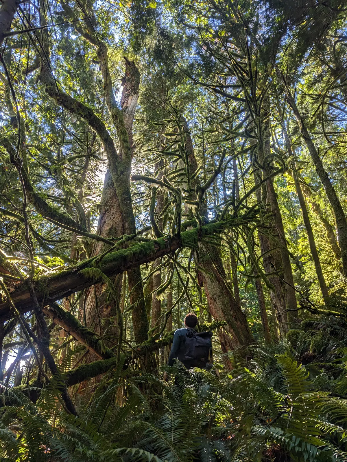
British Columbia is home to the last great temperate rainforests on Earth.
Some of these trees are older than the Roman Empire.
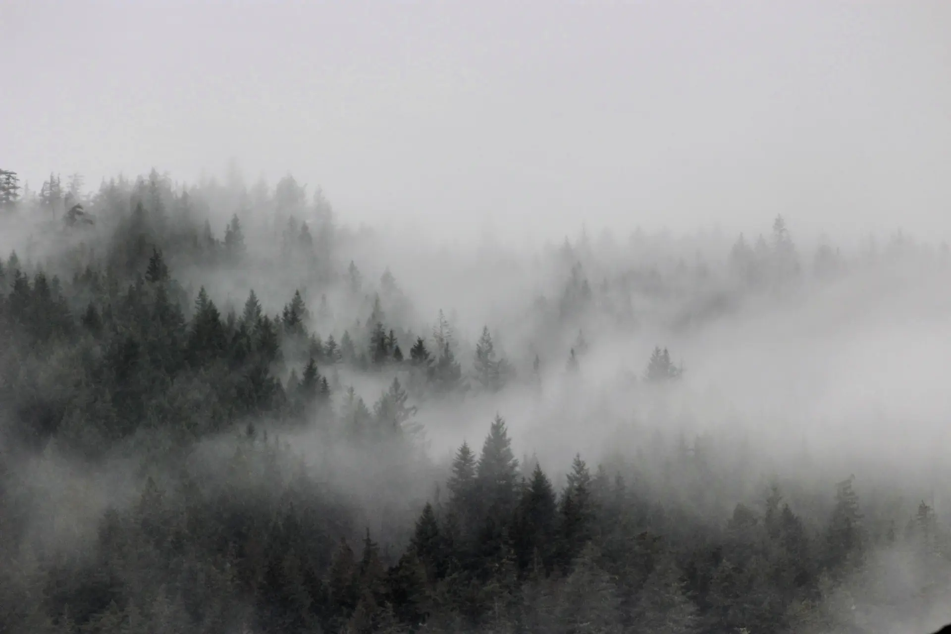
5.8 million hectares
Logged since 1950. An area larger than Nova Scotia.
Most of it will never be old growth again.
We mapped it. Every cutblock, every old-growth stand, every fire.
Now find your own corner of it.
Your watershed, your valley, the old growth you've driven past. It's all in here.
Where the data comes from
Every layer on this map is built from BC government open data, published through DataBC. Forest age and old growth come from the Vegetation Resources Inventory (VRI), the province's official forest survey. Cutblock boundaries come from Forest Tenure (FTEN) records. Fire history is from the BC Wildfire Service. Parks, conservancy areas, and conservation priority zones are from TANTALIS and the Old Growth Strategic Review.
Nothing is modelled, estimated, or editorially filtered. If the government says a stand is 250 years old, that's what the map shows. If it says it was harvested, same. The full pipeline is open source.
Support OpenCanopy
Not affiliated with or endorsed by the Province of British Columbia.